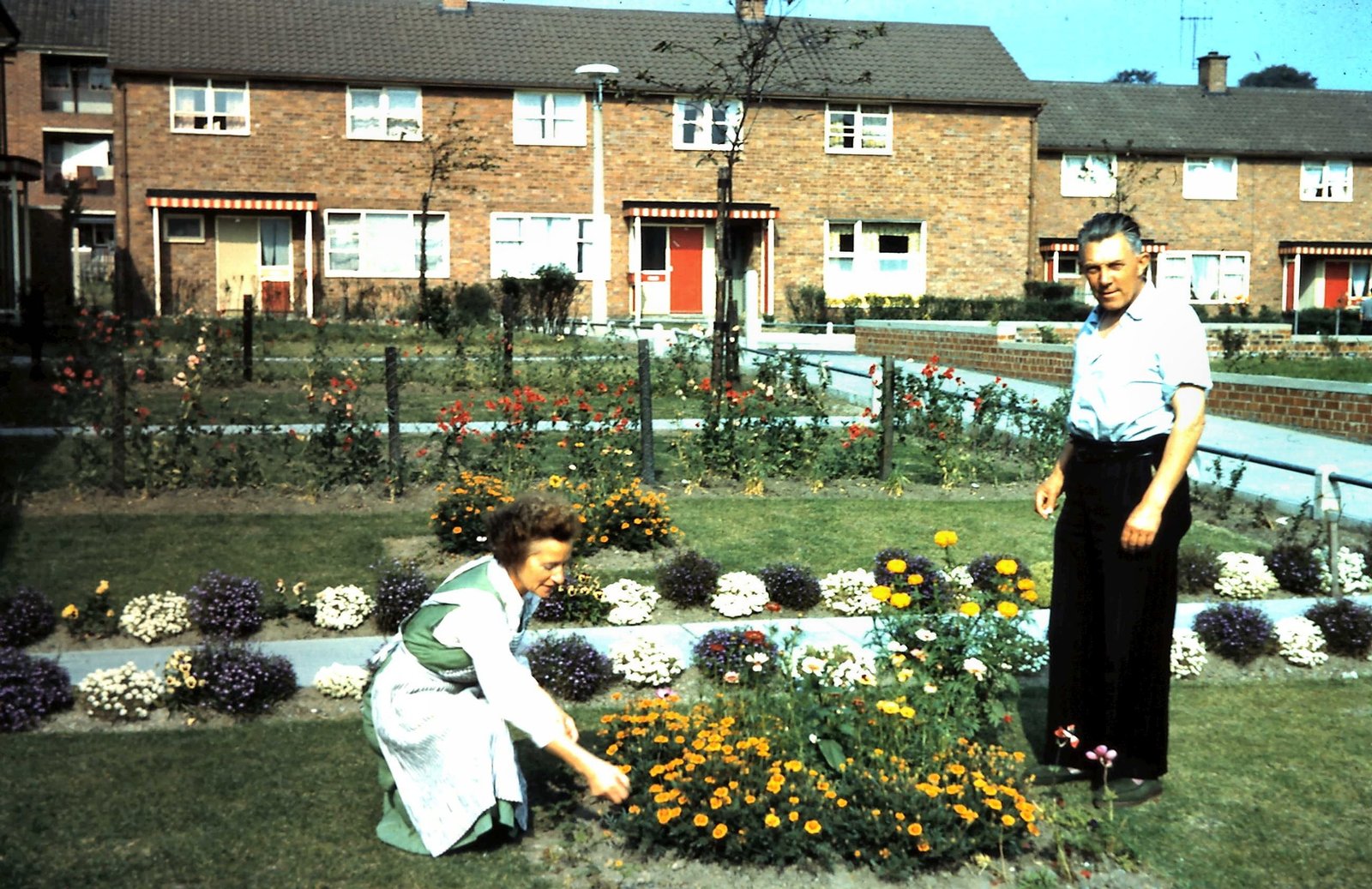
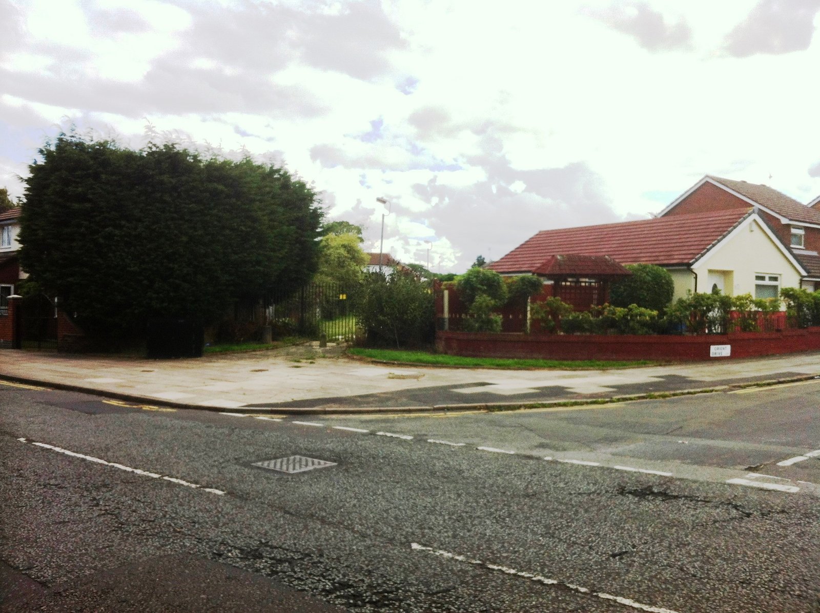
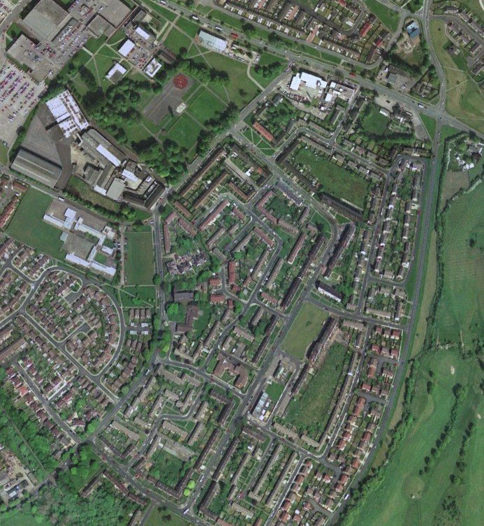
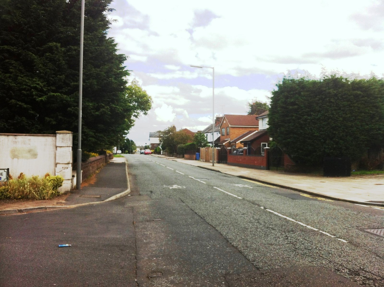
Childwall Valley Estate
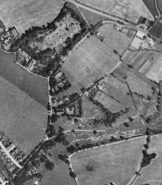
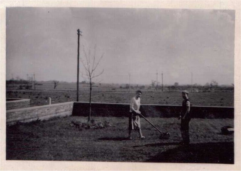
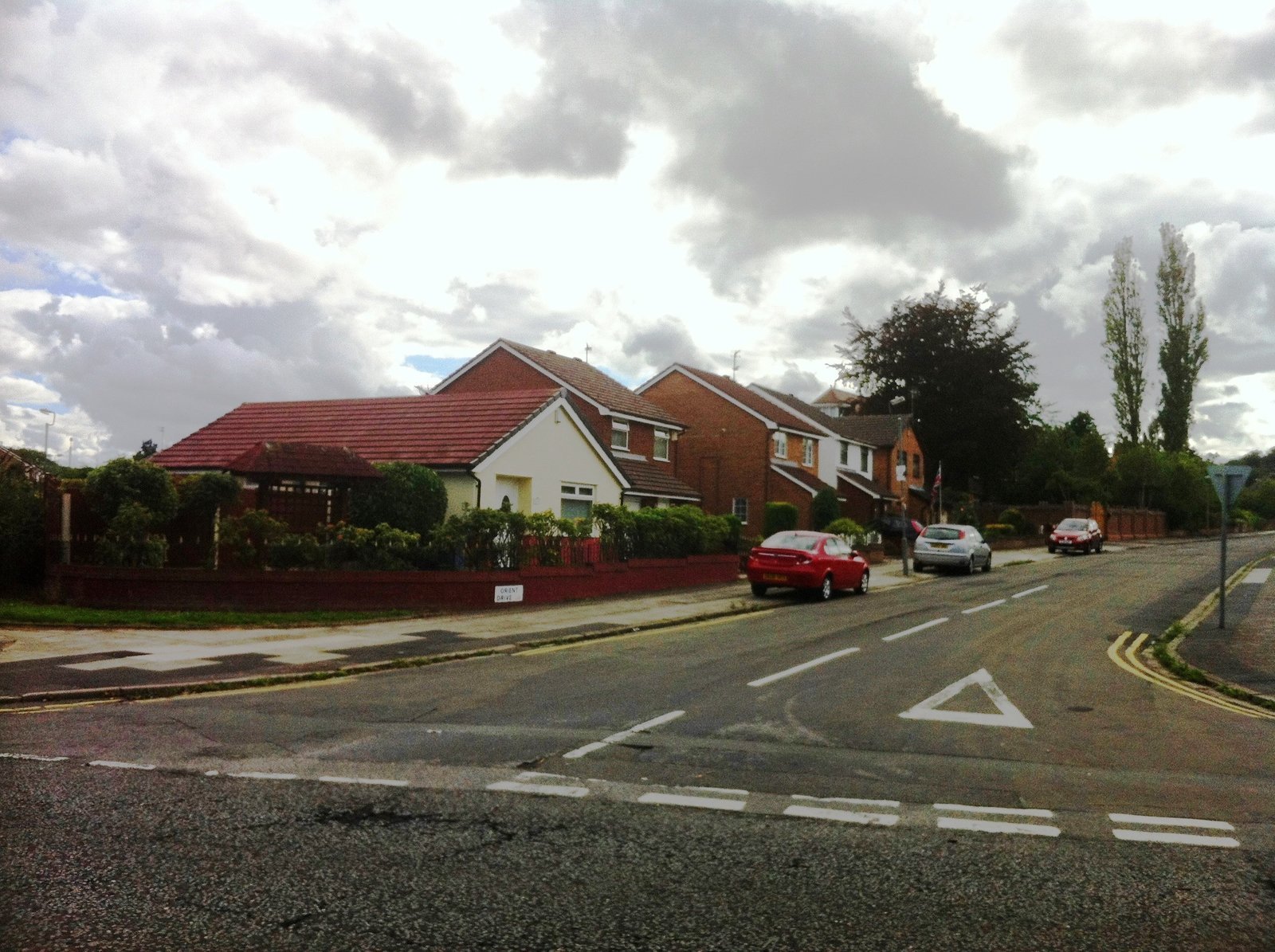
Prior to housing, the Childwall Valley Estate was used for agricultural use, and included two farms; Lower House Farm and Cockshead Farm.
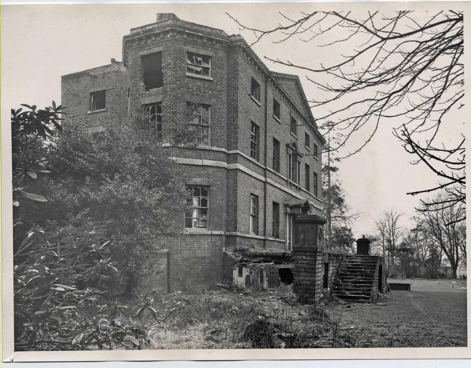
Cockshead Farm (also known as Tyson’s/Capstick’s Farm) was built in 1798, and was located near the recently demolished Cat’s Whiskers Pub. The farm featured a cistern pit, and was demolished between 1956-7 in preparation for the housing estate.
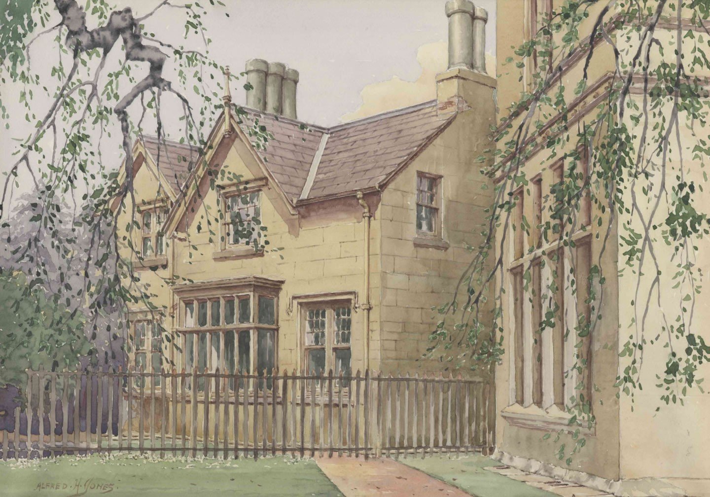
Lower House Farm (also known as Childwall House Farm/Jackson’s Farm) stood at the bottom of Well Lane on what is now known as Lower Farm Road, and also featured a cistern pit, which consequently led to the roadname ‘Jackson’s Pond Drive’. Farmer Jackson was known as a gentle man who had rosy cheeks and drove a green ex-military Landrover. Today, the only remaining evidence of Lower House farm are the employee farmhouses found on the Childwall side of Well Lane.
The Childwall Valley Estate was built alongside the Prefab Estate on Childwall Valley Road after 131 acres was acquired from Lord Salisbury in 1954. Initially, the estate was to also include the land between the railway and Childwall Church, however, it was later decided that this would be developed privately.
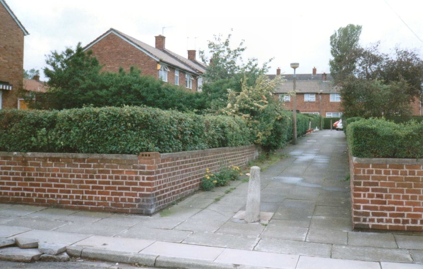
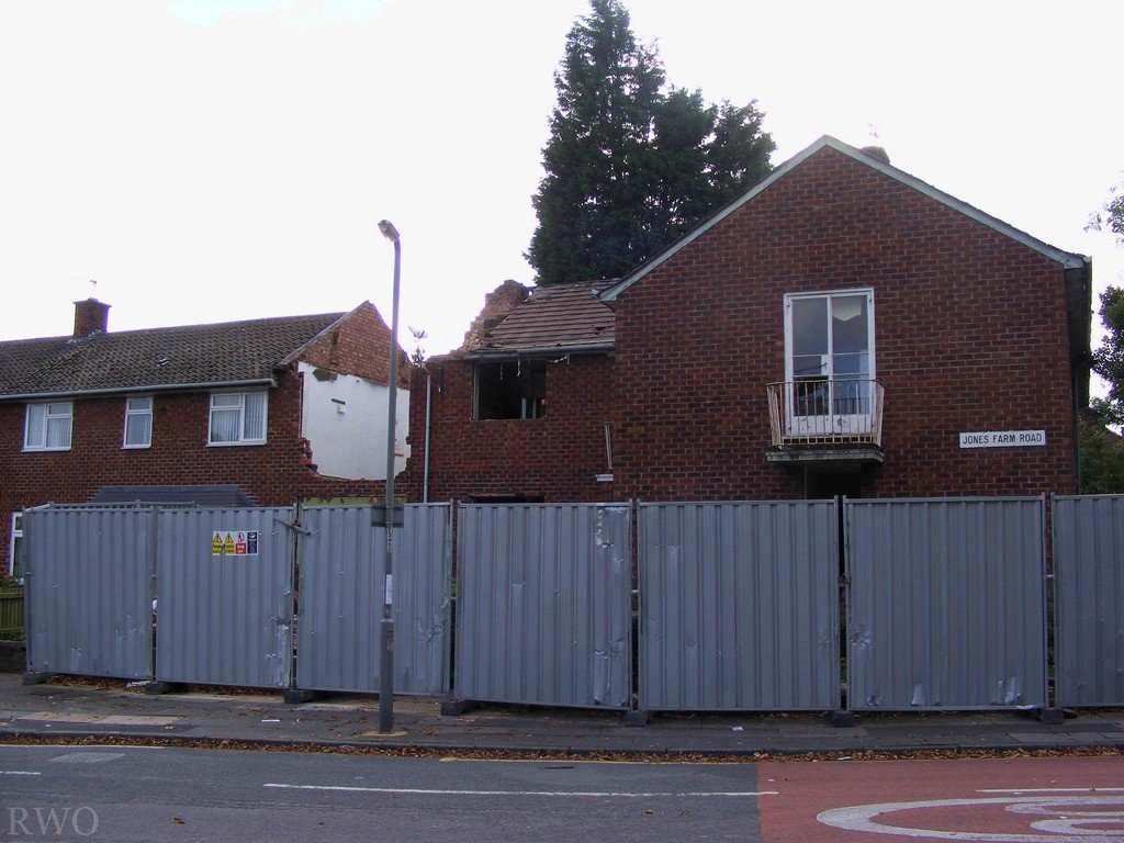
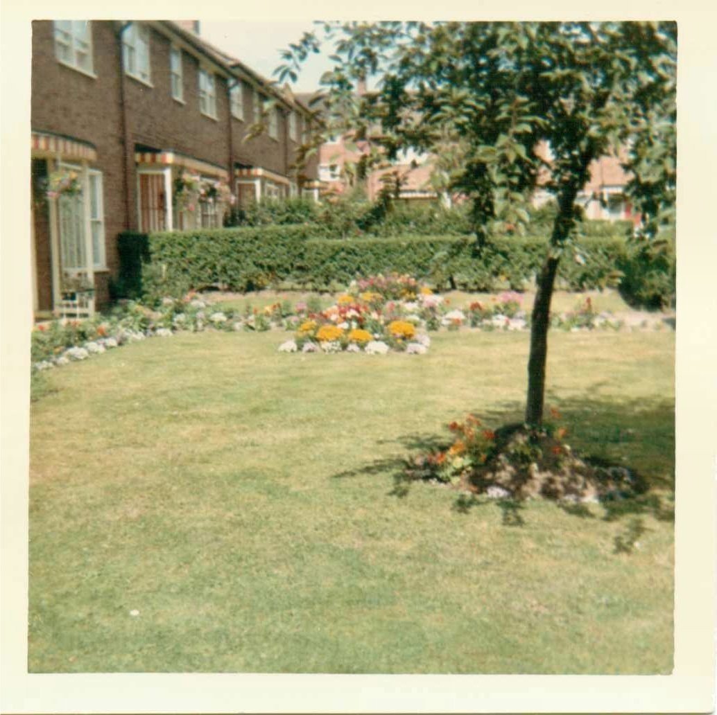
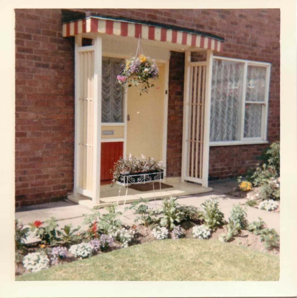
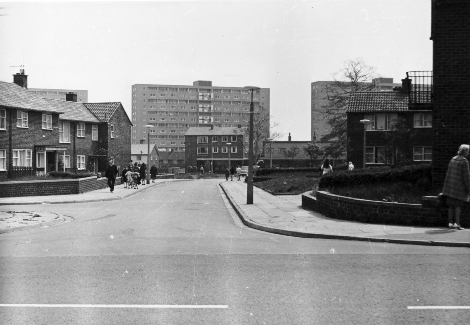
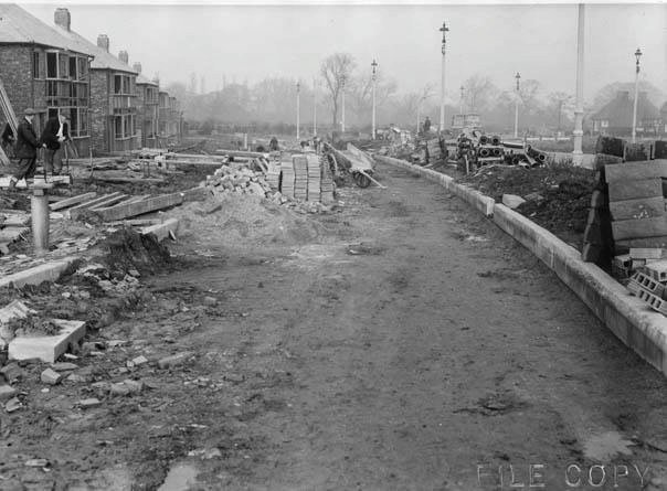
The estate was built between 1958 to 1964, and initially comprised of 131 two bed, 462 three bed and 129 four bed houses, alongside 19 houses for police officers, 280 maisonettes, 390 low rise flats and 544 multi-storey flats. During the years after the estate was built, a social survey was completed by Shankland & Cox where many residents noted the joys of having an indoor toilet, but complained that the walls between the accommodation were not well soundproofed, and the ‘inside’ refuse areas were disliked. Many of these refuse areas have now been annexed into the living space of the houses.
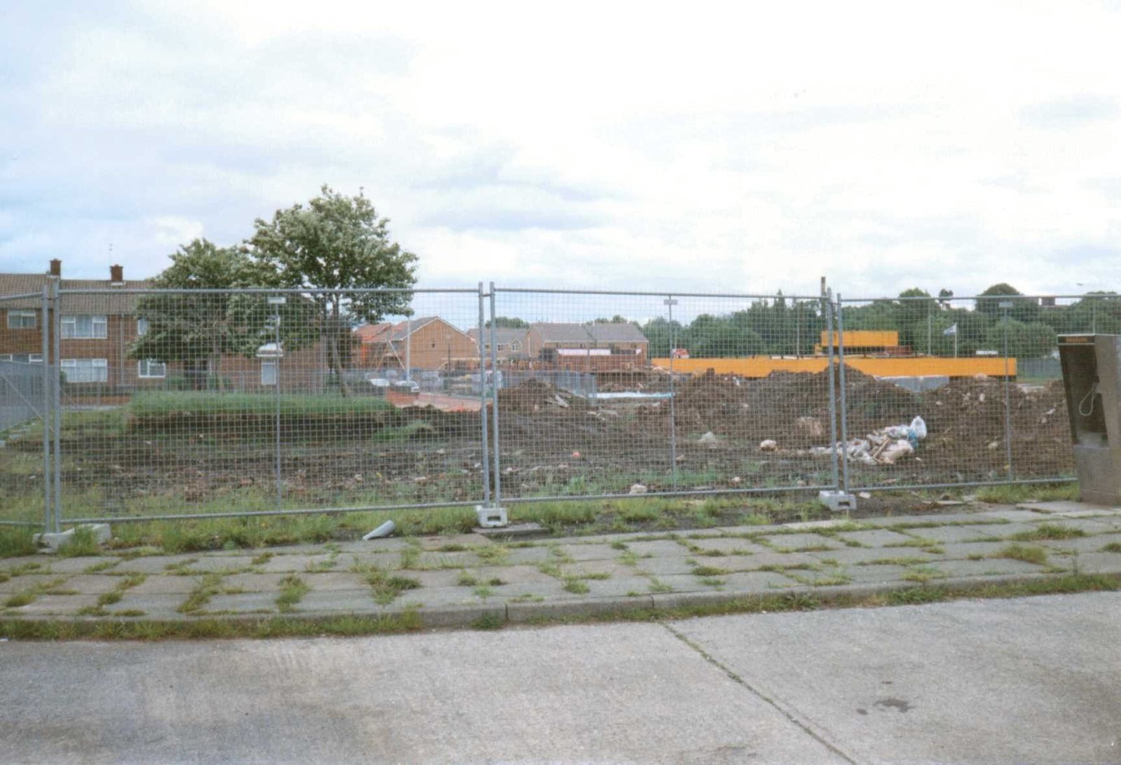
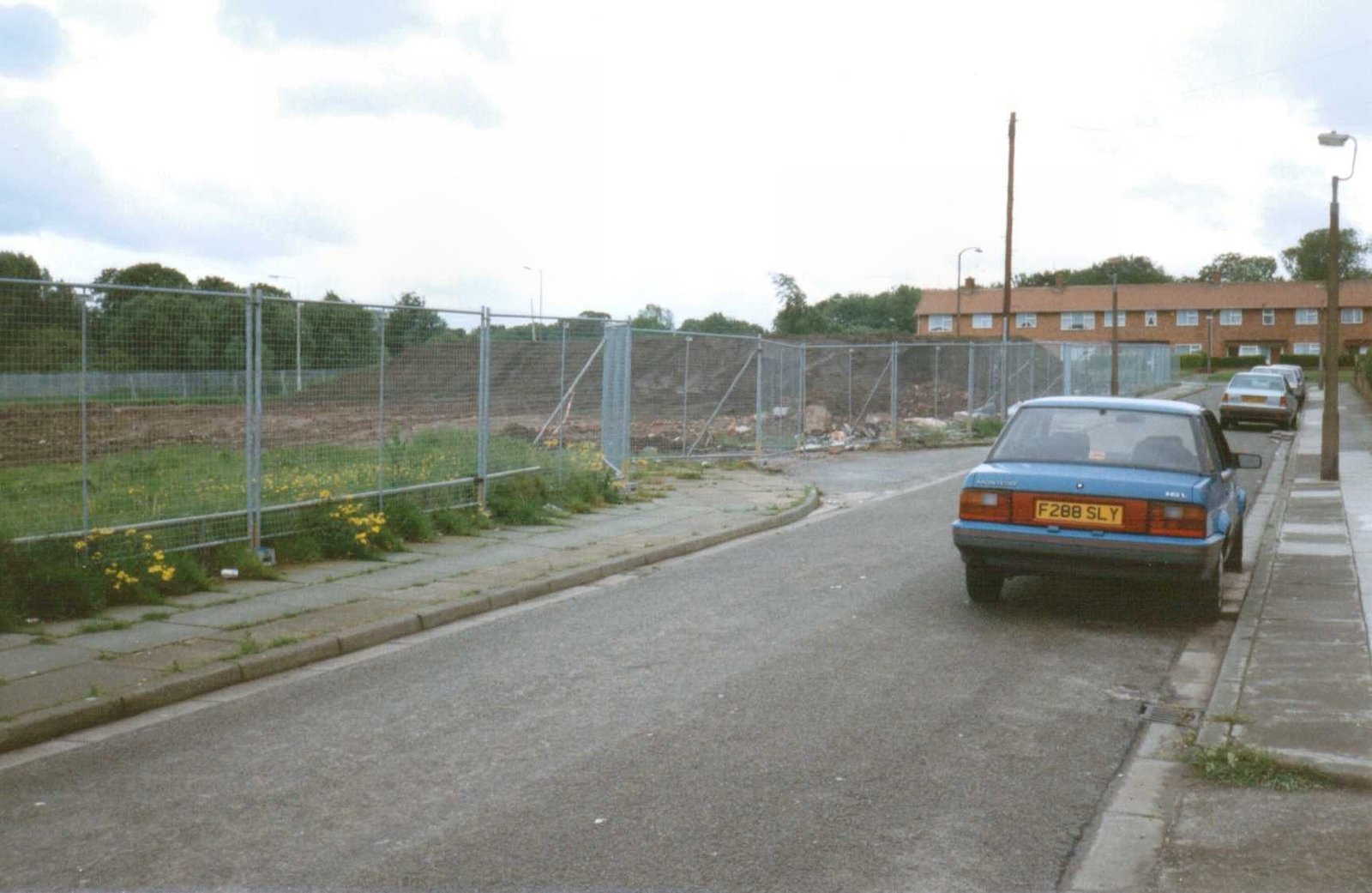
Prior to 2000, the council had stopped undertaking regular maintenance of the estate, and properties began to fall into disrepair with some becoming victims of vandalism. Only ‘emergency repairs’ were being undertaken by the council, and fly tipping, alongside youth annoyance had increased, causing residents to feel pride in the area was starting to diminish as the estate declined.
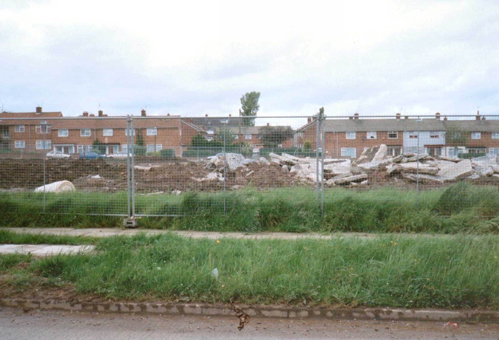
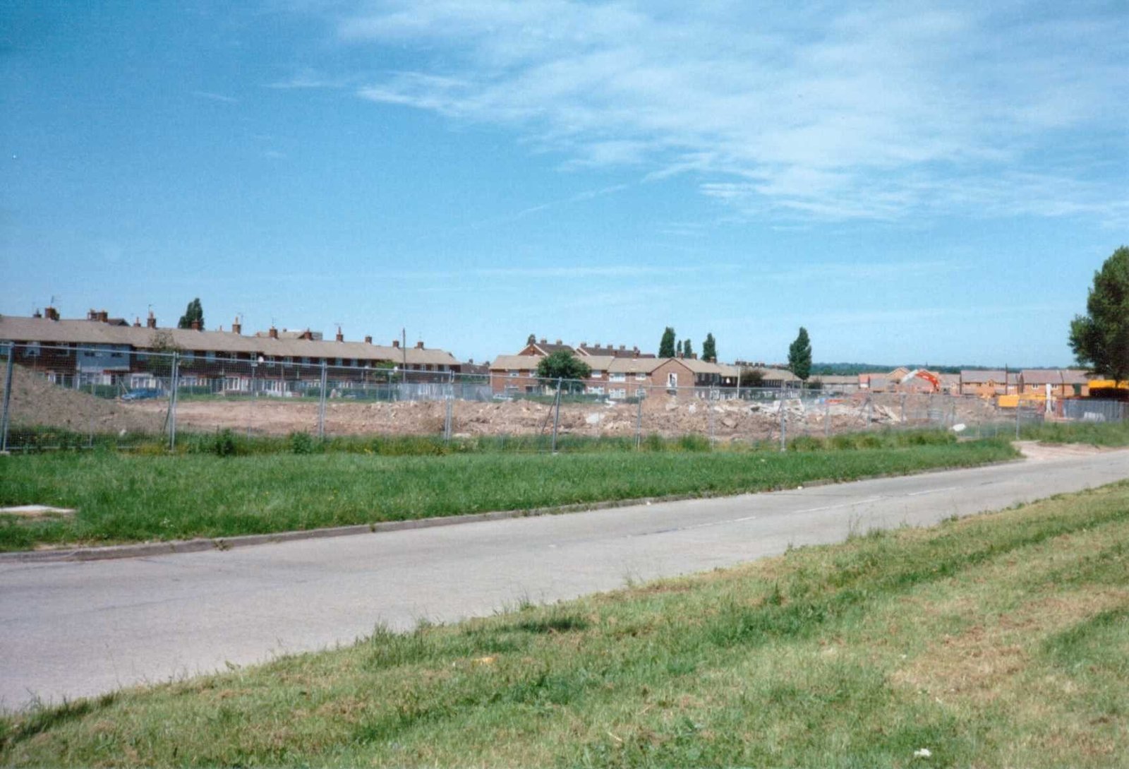
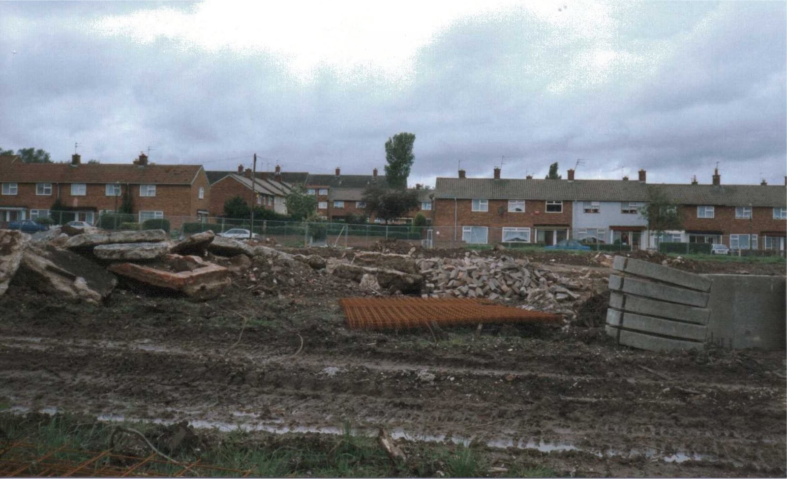
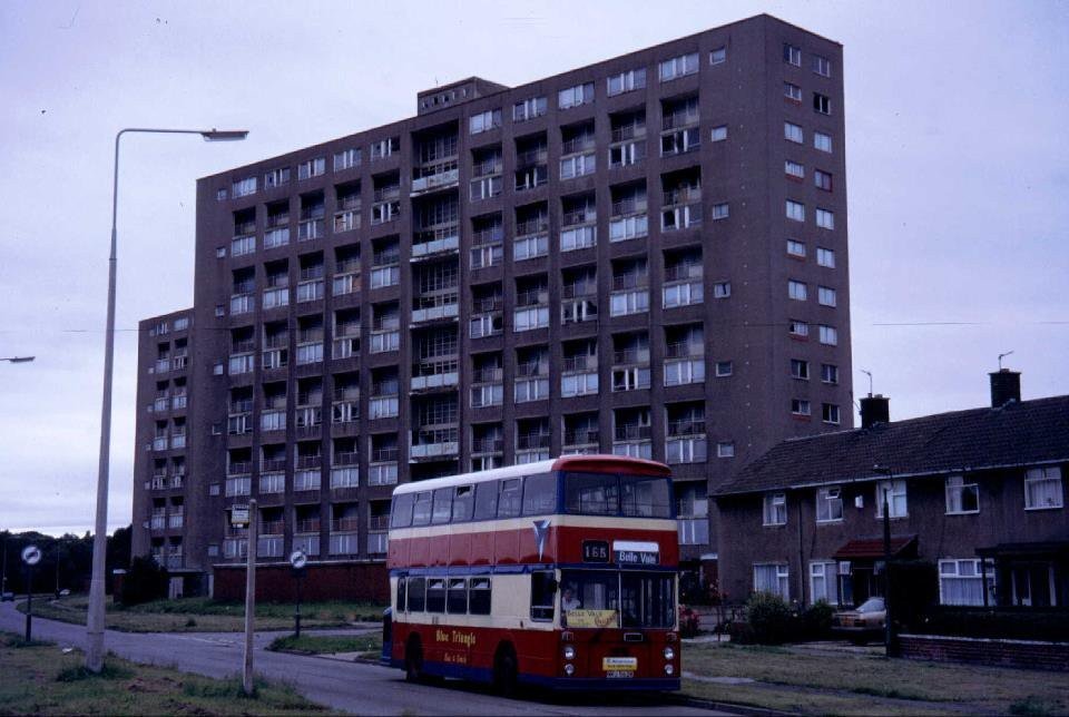
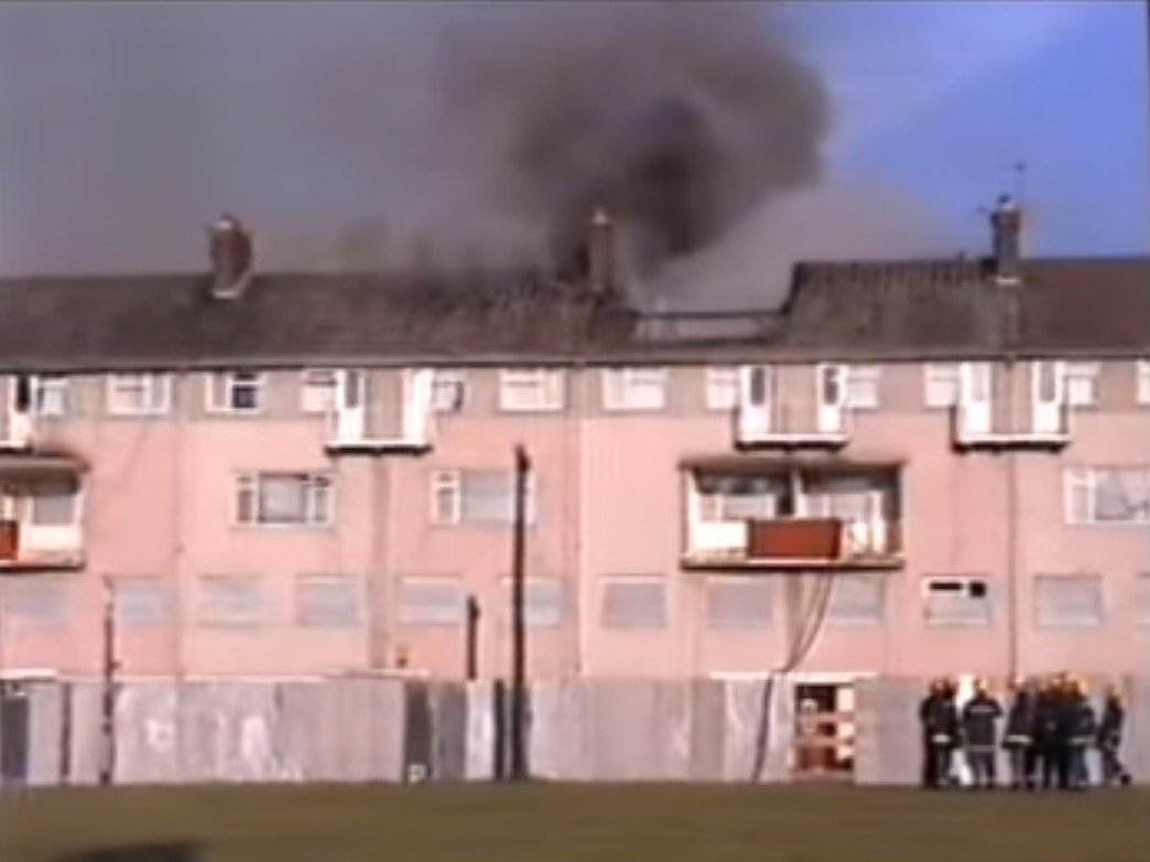
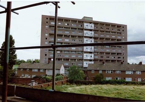
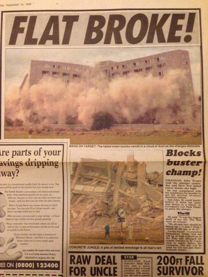
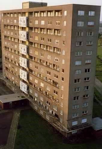
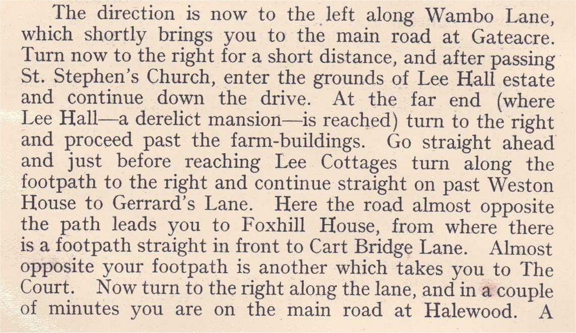
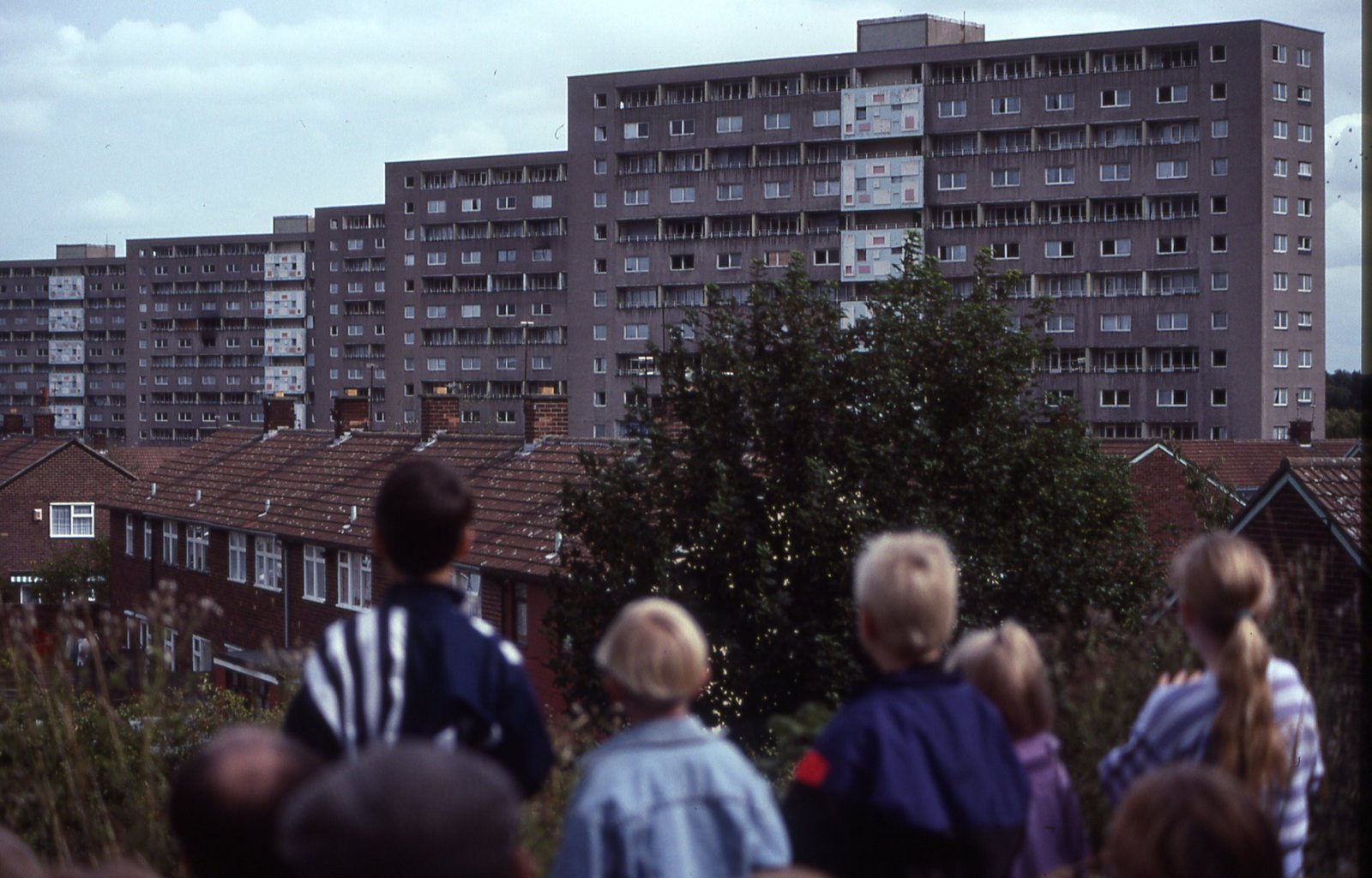
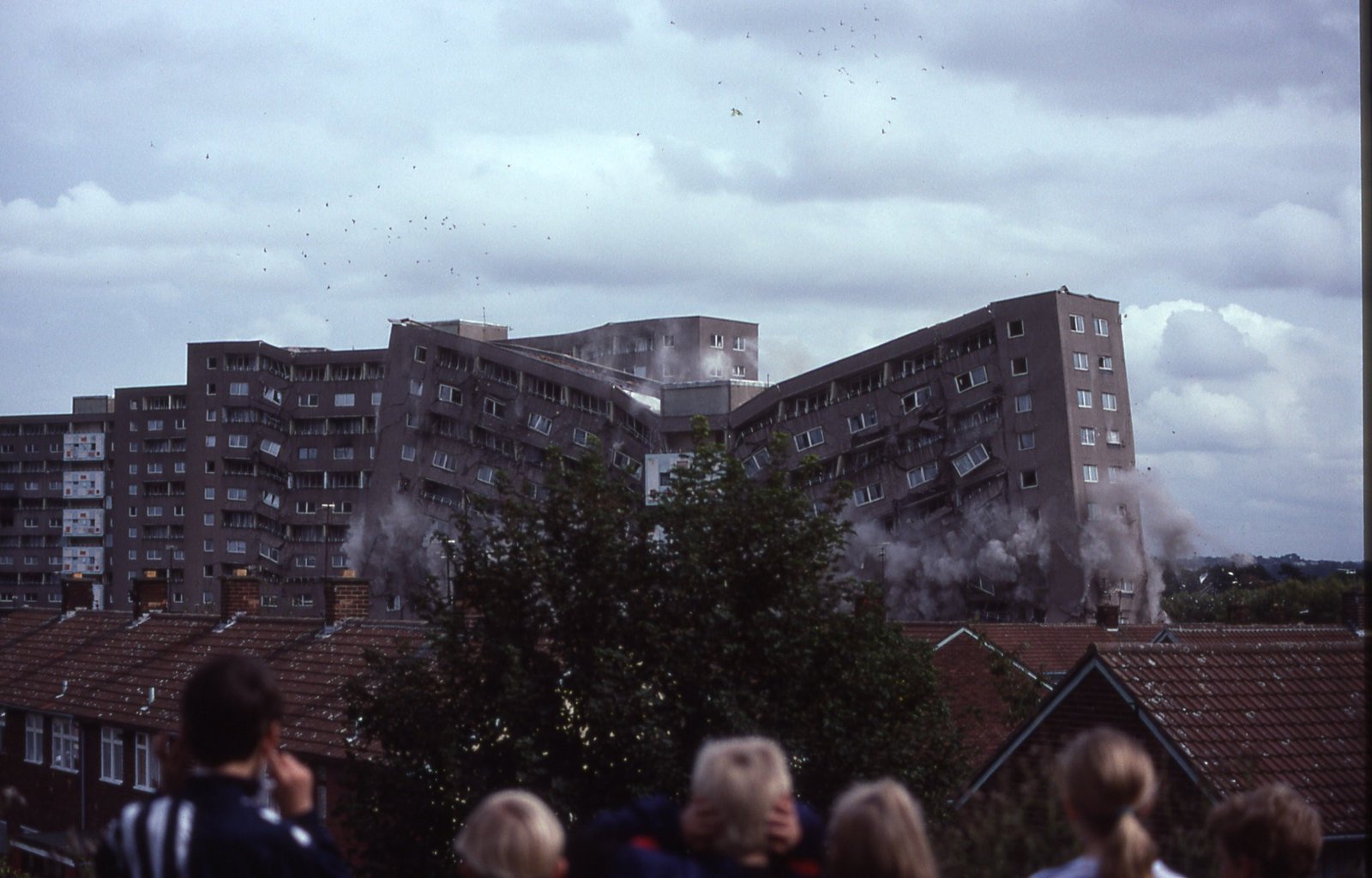
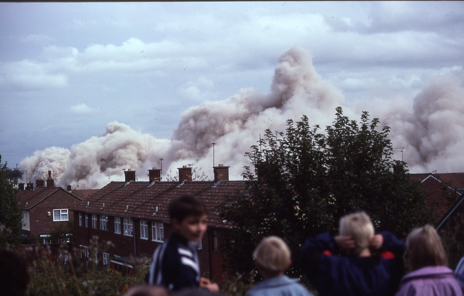
In 1993, the Liverpool Housing Action Trust took responsibility for the high rise blocks on the estate. The 7 multi-storey flats (3x Childwall Heights, 3x Hartsbourne Heights and 1x Valley views) comprised of 15 storeys at 44 meters tall, and were all demolished alongside a number of maisonettes in 1999-2000.
Due to the continuing poor condition of the estate, residents decided to take back control and served notice of their intention to take action under the Right to Manage regulations. Estate residents were then balloted regarding forming a TMO in 2000, and the Childwall Valley Estate Management Board was formed as a result. The demolished high rise flats were replaced with over 55s bungalows and houses, some of which won awards for their eco-conscious designs. In 2003, the properties on the estate were transferred to the Riverside Group by Liverpool Council, and in 2015, the EMB won a national award in recognition of its work in the community from the National Federation of Tenant Managements.
undertaken by the council, and fly tipping, alongside youth annoyance had increased, causing residents to feel pride in the area was starting to diminish as the estate declined.
In 1993, the Liverpool Housing Action Trust took responsibility for the high rise blocks on the estate. The 7 multi-storey flats (3x Childwall Heights, 3x Hartsbourne Heights and 1x Valley views) comprised of 15 storeys at 44 meters tall, and were all demolished alongside a number of maisonettes in 1999-2000.
Due to the continuing poor condition of the estate, residents decided to take back control and served notice of their intention to take action under the Right to Manage regulations. Estate residents were then balloted regarding forming a TMO in 2000, and the Childwall Valley Estate Management Board was formed as a result. The demolished high rise flats were replaced with over 55s bungalows and houses, some of which won awards for their eco-conscious designs. In 2003, the properties on the estate were transferred to the Riverside Group by Liverpool Council, and in 2015, the EMB won a national award in recognition of its work in the community from the National Federation of Tenant Managements.
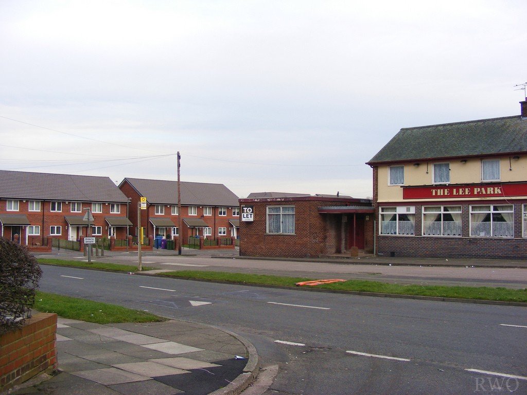
Lee Park Estate – Ken Roberts’ Memories
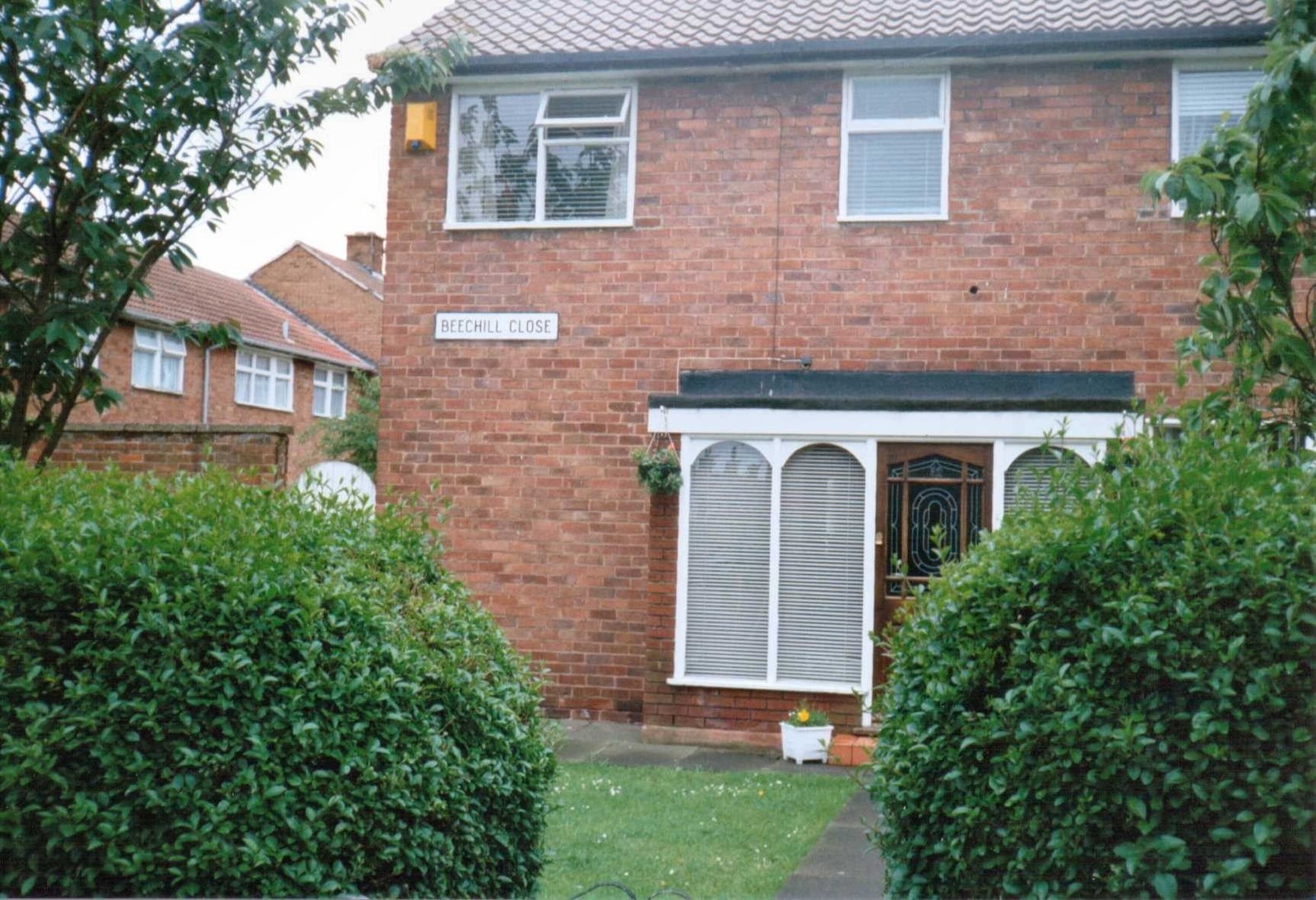
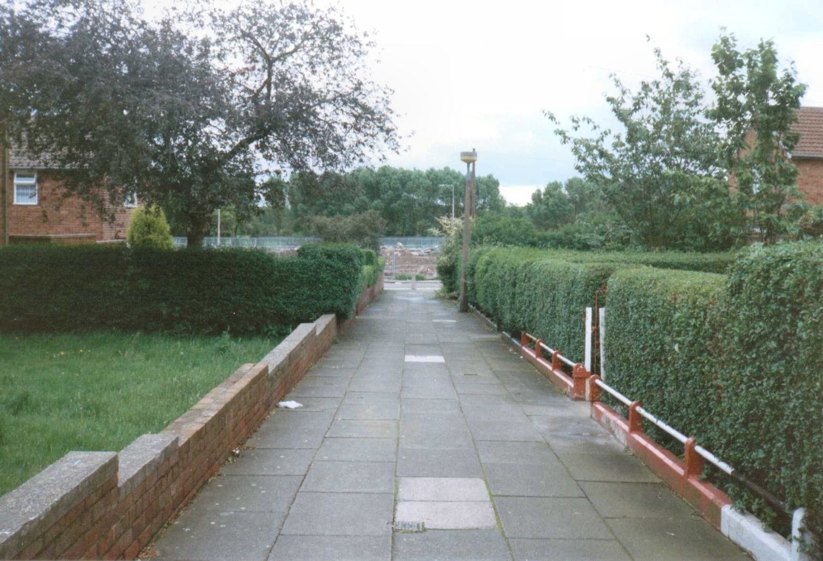
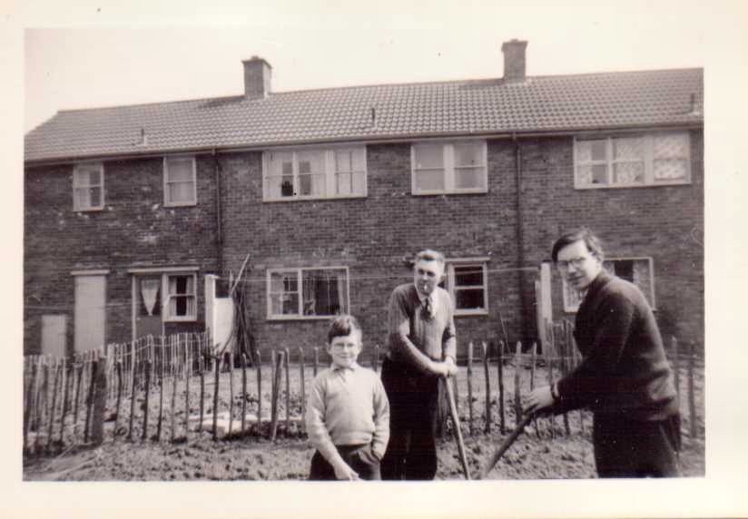
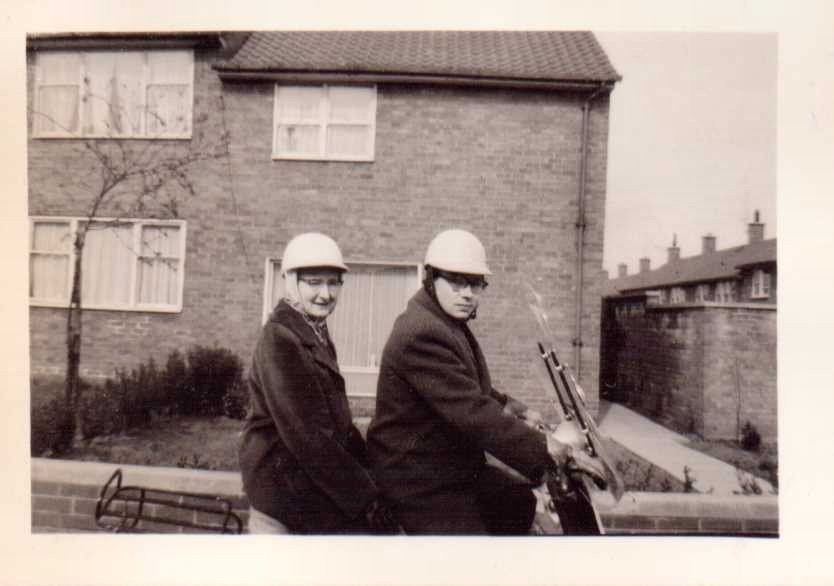
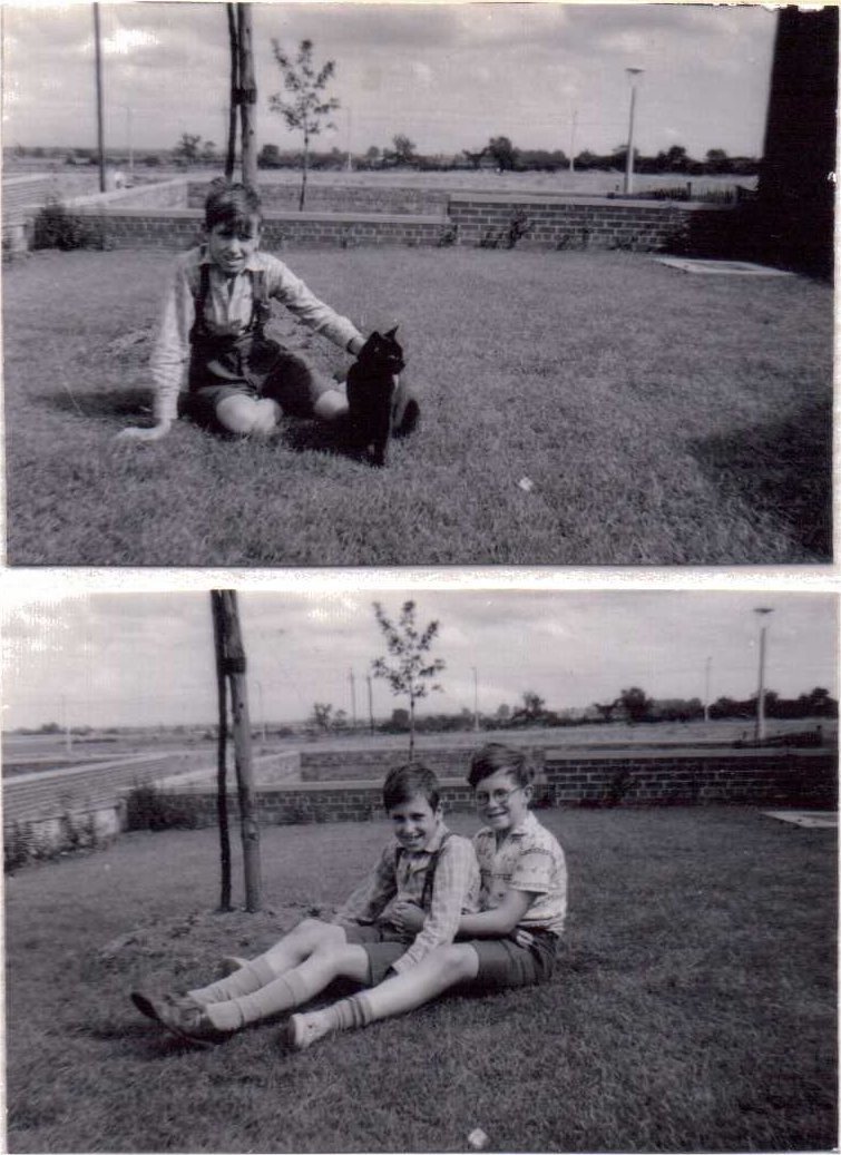
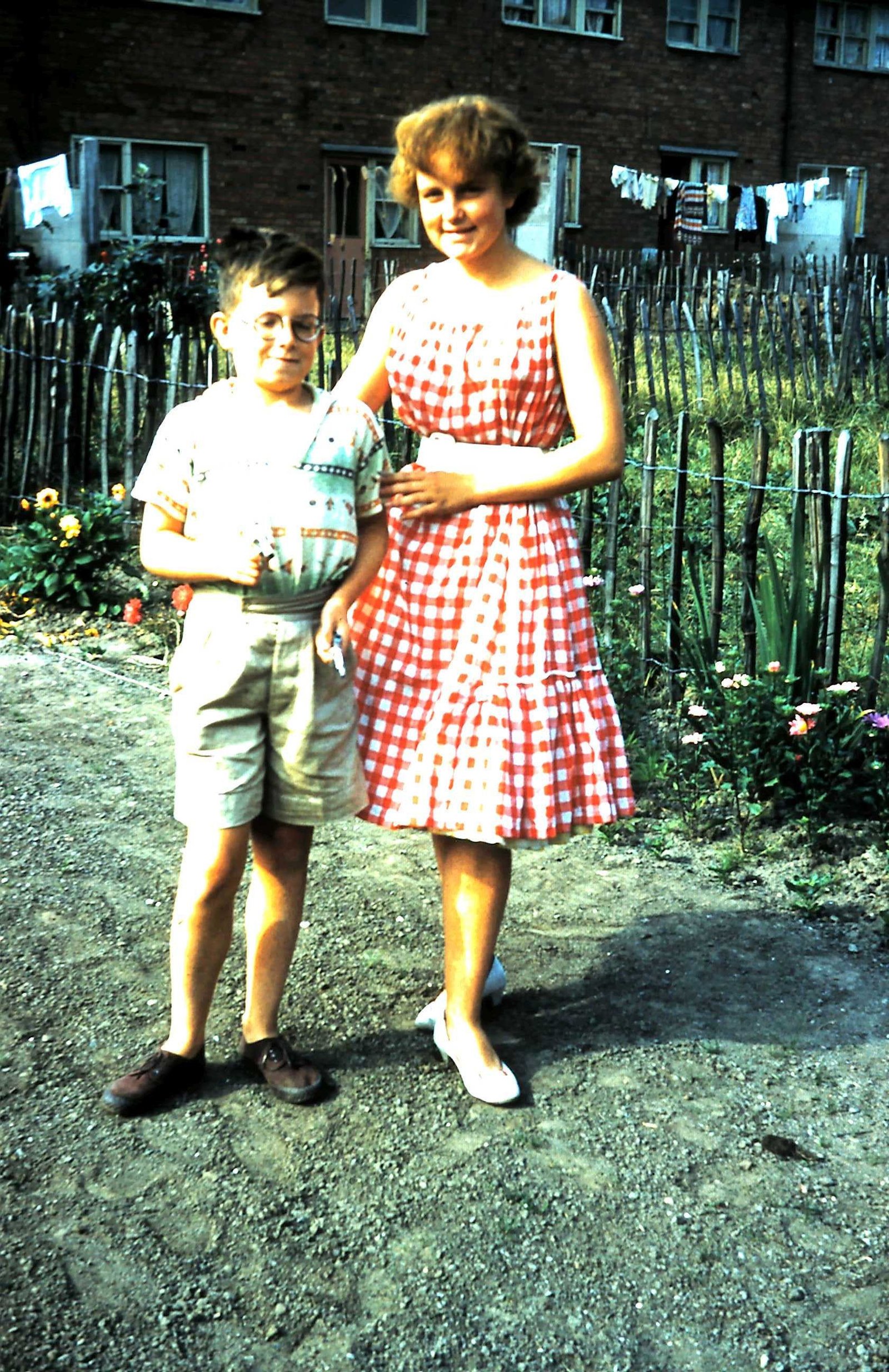
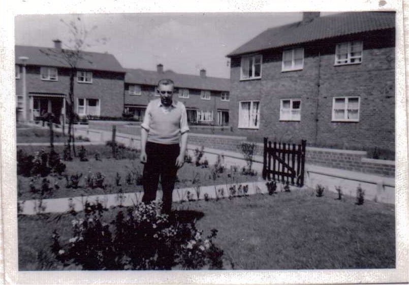
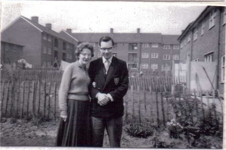
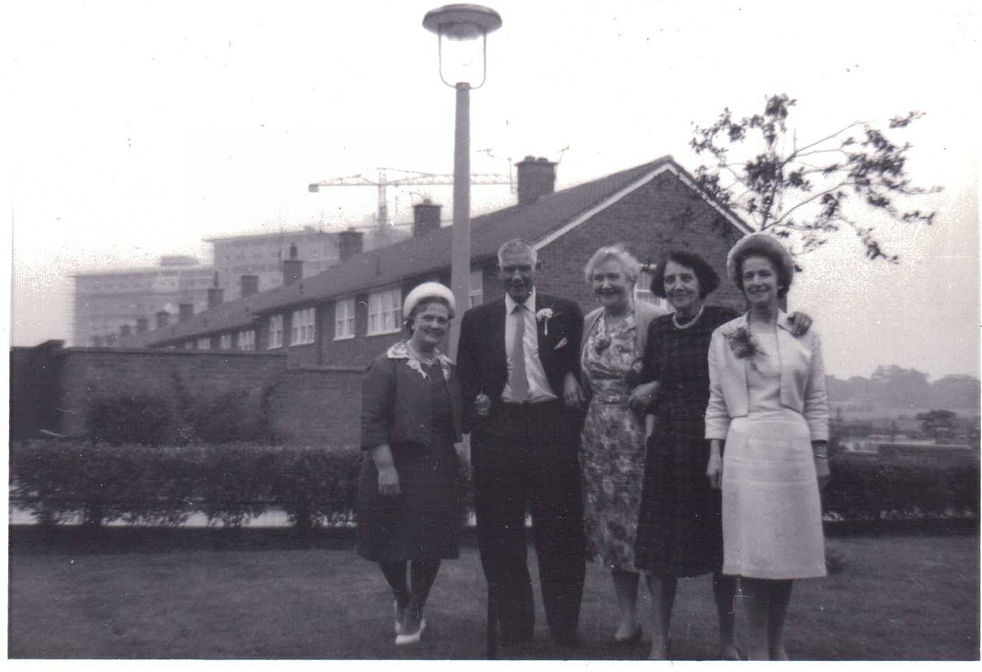
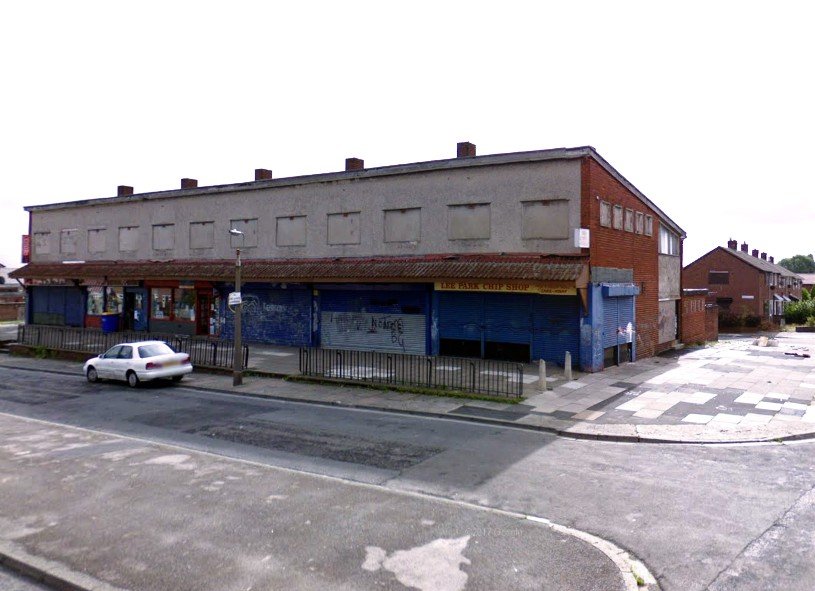
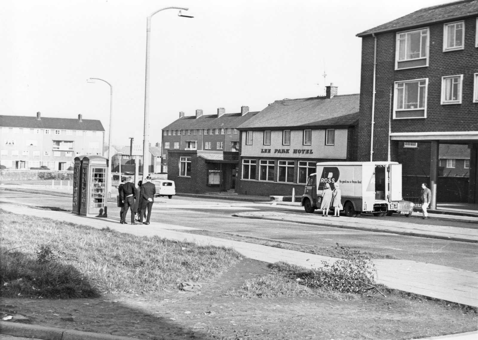
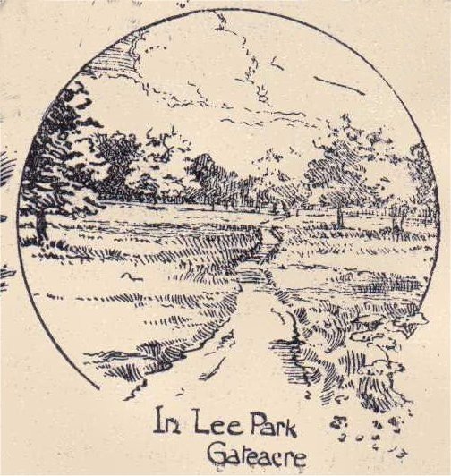
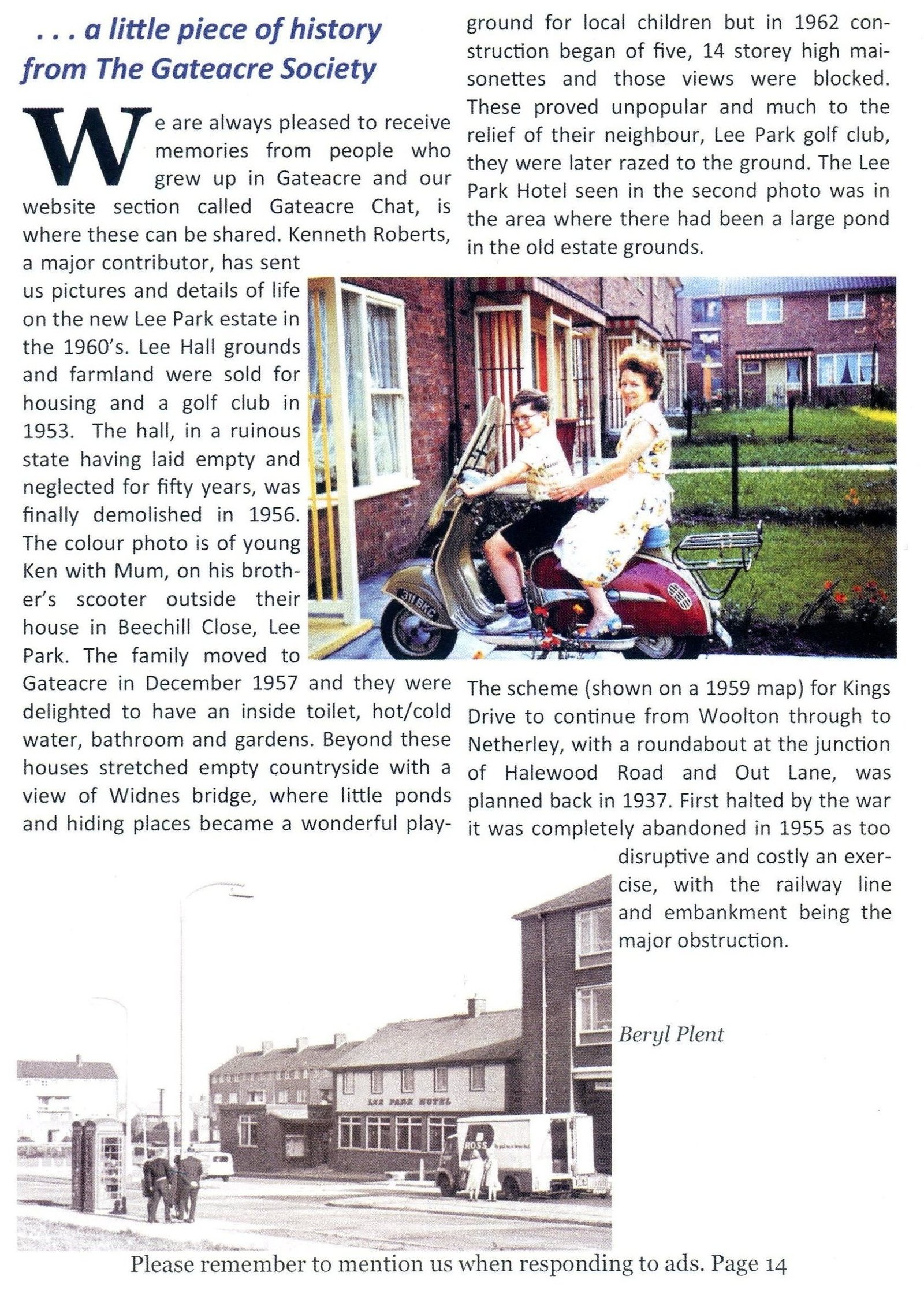
My family moved into Beechill Close, Lee Park, after being rehoused in Dec 1957, when the estate had only just been built, and we were among the earliest intake of families. I remember seeing the place in Summer 1957 when the building site of Beechill Close was like a sea of mud! But on moving there from inner-city Liverpool, our new house was like a dream with the open countryside, then under a blanket of snow, on our doorstep. Our part of the close was still a rough cinder footpath leading down to Fordcombe Road, but we could see for miles across the golf course and the country beyond.
In 1961, before the 14-storey Lee Park maisonettes were built, we were able to see the new Widnes Bridge under construction from our front door. The view from 14 storeys up was pretty awesome, and our house looked like a doll’s house.
When Lee Park was built in 1957, there were no buses into the estate. Within a year the 79c terminated at the bottom of Lee Vale Road, and the 79d in Lee Park Avenue. The 79c was great as it was just around the corner from where we lived; it was one of the longest routes in Liverpool, and the fare to the Pier Head terminus was one shilling (5p). Another way of getting into town was by train to Liverpool Central from Gateacre Station, an old-fashioned railway station with a pedestrian subway through the embankment to the platforms.
In the Lee Park of 1960, you were lucky if you saw more than one or two cars whilst playing out for hours. Kings Drive in Woolton was laid out in 1937 as the first phase of a grandiose plan for an Outer Ring Road around Liverpool, but the plan was shelved with the coming of war. A more modest scheme was planned in the 1950s for a direct link between Childwall Valley Road and Woolton. It even appeared on the 1959 street map as if it was completed. The only trouble was, a railway embankment lay across the route, so it was decided that the cost and disruption would be prohibitive. The scheme was halted and shelved, leaving King’s Drive as a road with two ends and no middle!
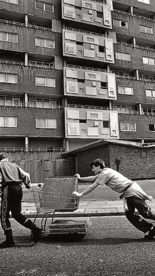
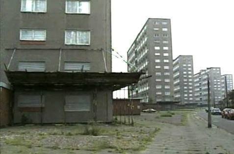
N.B. by A Wilson: Work commenced on Lee Park in 1956. It eventually comprised of 1342 two storey dwellings with a large number of flats. The ten storey slab blocks later followed, and were built between 1961 to 1954 on pre-reserved land. They were named Churchill, Chamberlin, MacMillan, Eden and Attlee respectively, but were also known collectively as the ‘minister blocks’.

